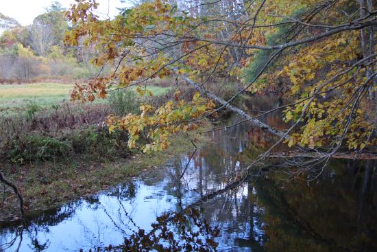
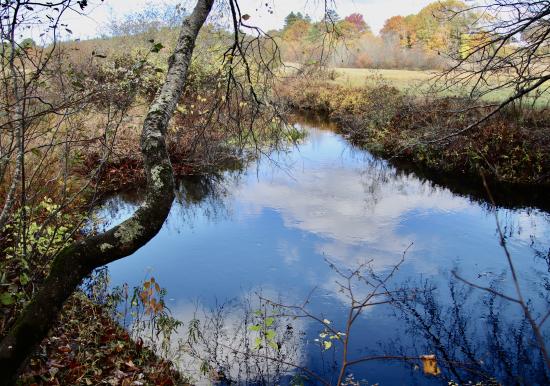
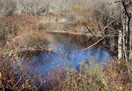
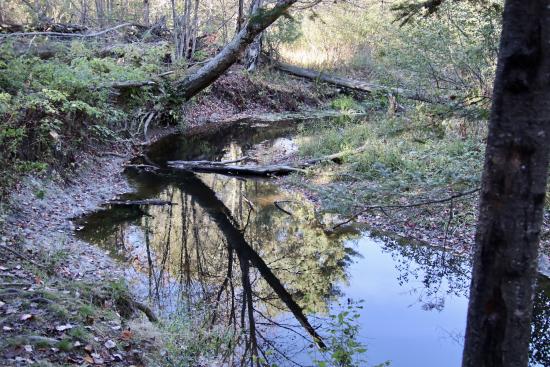
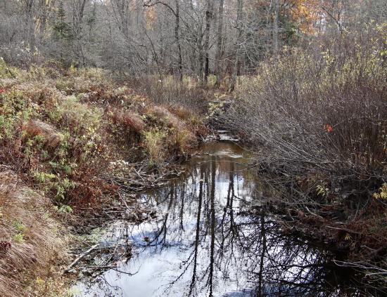
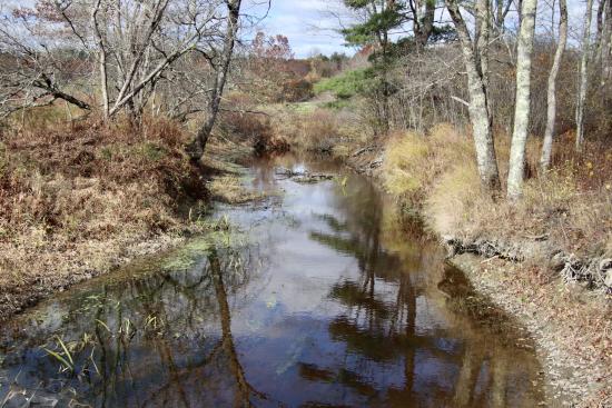
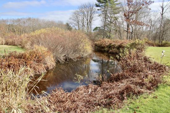
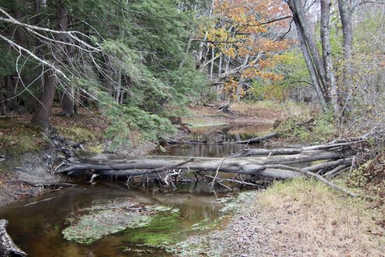
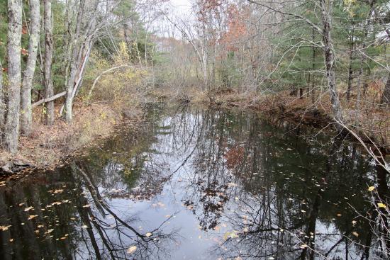
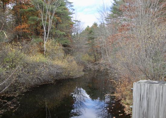
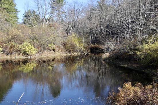
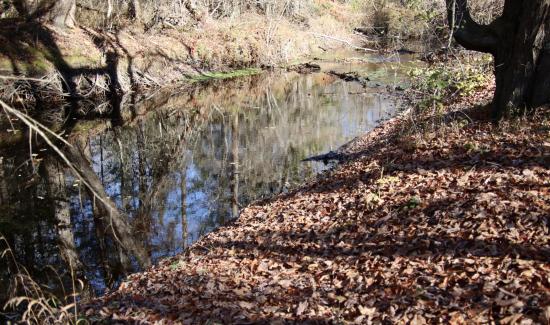
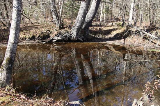
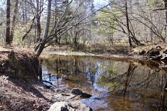
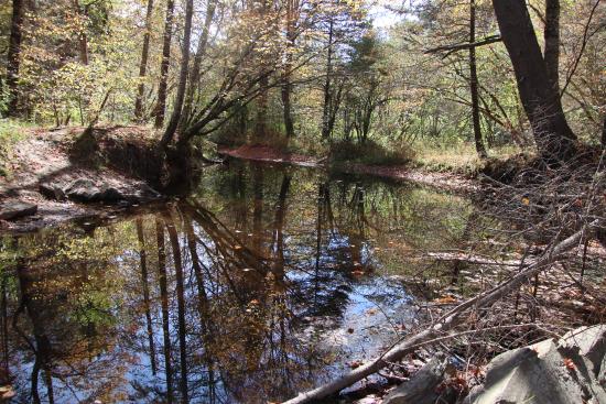
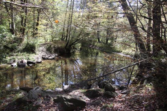
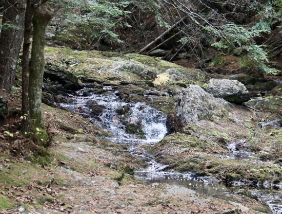
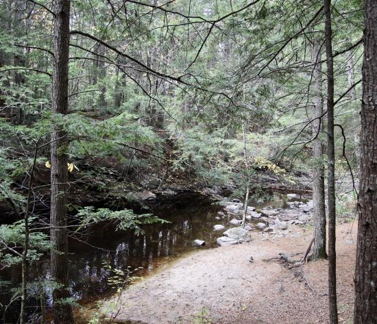
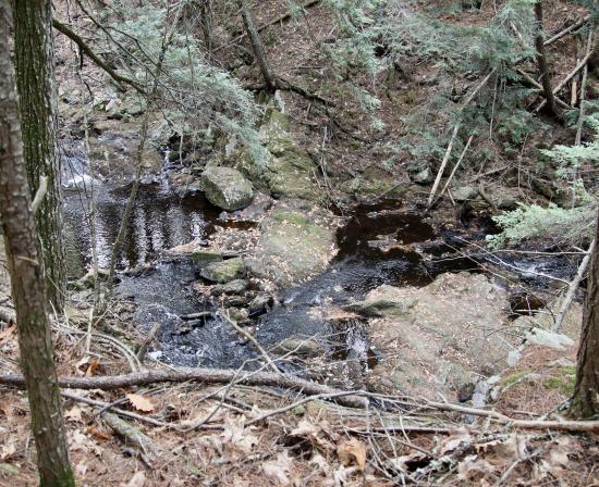
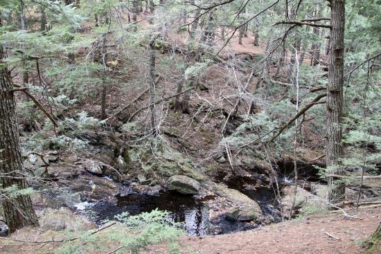
View from Woodspeed Rd./Hunnewell Hill trails.

Four access points from the trails that go through SLT property and town open space in this area.

Date of Photograph

View from Woodspeed Rd./Hunnewell Hill trails.

Four access points from the trails that go through SLT property and town open space in this area.

Date of Photograph

View from Gorham Road - edge of SLT property.

View from Gorham Road - edge of SLT property.

Date of Photograph

Access point to the river from the loop trail.

Access point to the river from the loop trail.

Date of Photograph

The Nonesuch as it makes its way through the golf course.

Views of the river from the golf course.

Date of Photograph

The Nonesuch as it makes its way through the golf course.

Views of the river from the golf course.

Date of Photograph

The Nonesuch as it makes its way through the golf course.

Views of the river from the golf course.

Date of Photograph

The Nonesuch as it makes its way through the golf course.

Views of the river from the golf course.

Date of Photograph

From Beech Ridge Rd, at the edge of the Beech Ridge preserve.

Looking downstream from Beech Ridge Rd.

Date of Photograph

From Beech Ridge Rd, at the edge of the Beech Ridge preserve.

Looking upstream from Beech Ridge Rd.

Date of Photograph

Looking downstream from Mitchell Hill Rd; this is at the edge of the Oak Hollow property.

Looking downstream from Mitchell Hill Rd.

Date of Photograph

From the trails off Fengler Rd, opposite the view from the Fuller Farm trails.

From the trail network off Fengler Rd.  This access point is directly opposite the view from the Fuller Farm trail.

Date of Photograph

From the trails off Fengler Rd, opposite the view from the Fuller Farm trails.

From the trail network off Fengler Rd.  This access point is directly opposite the view from the Fuller Farm trail.

Date of Photograph

From the trails off Fengler Rd, opposite the view from the Fuller Farm trails.

From the trail network off Fengler Rd.  This access point is directly opposite the view from the Fuller Farm trail.

Date of Photograph

From the Fuller Farm trails.

From the Fuller Farm trail network.

Date of Photograph

View of the Nonesuch from the Fuller Farm trail network.

From the Fuller Farm trail network.

Date of Photograph

Nonesuch Headwaters

Series of photographs taken from the Thurston Mill site.

Date of Photograph

Nonesuch Headwaters

Series of photographs taken from the Thurston Mill site.

Date of Photograph

Nonesuch Headwaters

Series of photographs taken from the Thurston Mill site.

Date of Photograph

Nonesuch Headwaters

Series of photographs taken from the Thurston Mill site.

Date of Photograph